CALIFORNIA, After weeks of unusually dry conditions and warm temperatures, weather forecasters are confirming a major pattern shift across California that could bring significant rain, snow, and much‑needed precipitation starting as early as mid‑February 2026. For residents, visitors, businesses, and outdoor enthusiasts in the Golden State, this change represents both welcome relief from drought‑like conditions and a set of tangible impacts that stretch from city streets to mountain passes.
From Drought‑Like Dryness to Storm Prospects
For much of winter 2025–26, much of California has experienced a pronounced lack of rainfall and warmer‑than‑average temperatures. This has raised concerns among water managers, agricultural producers, and outdoor recreation providers. With California’s snowpack, critical for spring and summer water supply, well below average in key basins, every storm matters.
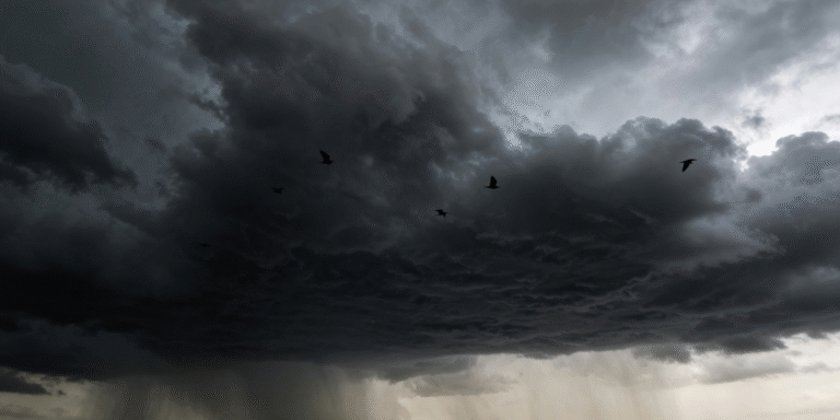
But according to meteorologists tracking emerging weather systems, a series of strong Pacific storms is forecast to develop off the West Coast and move inland starting around mid‑February. These systems are expected to bring several rounds of rain and mountain snow across Northern and Central California before moving south and eastward.
AccuWeather’s Chief On‑Air Meteorologist Bernie Rayno noted that, “It is possible the series of storms next week in California delivers close to an entire month’s worth of rain and snow,” and emphasized how widespread precipitation could shift conditions across the state.
What Californians Should Expect
- Heavy Rain and Coastal Impacts
Coastal and inland parts of Northern and Central California may see periods of moderate to heavy rain, especially affecting the Bay Area, Sacramento Valley, and parts of the Central Coast. Urban areas could experience temporary flooding and ponding on roadways, which may impact commuter traffic and local events. - Mountain Snow and Winter Recreation
Higher elevations, particularly in the Sierra Nevada, are expected to receive significant snow, boosting snowpack levels that remain well below normal. This could positively influence conditions for winter sports and improve reservoir inflow later in the year. However, heavy snowfall can also disrupt travel along highways like Interstate 80 and U.S. Highway 50, which are important corridors for tourism, goods movement, and local travel. - Travel and Outdoor Lifestyle Considerations
Tourists planning winter or early spring trips, whether for skiing in Lake Tahoe, hiking coastal trails, or visiting wine regions, should prepare for variable weather conditions. Rain and mountain snow can enhance scenic beauty and outdoor recreation opportunities early in the season. But travelers should monitor forecasts closely and allow extra time for road travel.
Wider Economic and Environmental Impacts
California’s tourism and outdoor lifestyle economy is tightly connected to weather patterns. Early‑year precipitation supports agricultural operations, recreational tourism, and water resource planning for urban and rural communities alike. A series of significant storms could help ease drought stress in some regions, supporting hydropower generation, farming productivity, and fine‑dust reduction in the Central Valley.
At the same time, an abrupt shift from dry conditions to heavy precipitation can pose challenges for infrastructure, local businesses, and emergency planners. Roadways may require maintenance after heavy rain, and localized flooding can interrupt retail districts and tourist zones in downtown areas of cities like Sacramento, San Francisco, and Santa Rosa.
Context: 2026 Weather Within Broader Trends
This storm pattern comes on the heels of an extended dry spell that boosted temperatures and suppressed rainfall in January and early February. While light rain was first expected to return to the Bay Area and other regions earlier in the week, the broader mid‑February forecast points to a more sustained and impactful weather regime change.
Climate scientists note that California’s Mediterranean climate always brings variability, but the degree and timing of these pattern shifts can have meaningful consequences for water supply, wildfire risk later in the year, and seasonal tourism planning. Whether this series of storms significantly alters California’s long‑term water outlook will depend on how much moisture arrives and where it falls, including crucial snow depths in the Sierra Nevada watersheds.
Key Takeaways for Californians and Visitors:
- Expect multiple storms beginning mid‑February, potentially delivering heavy rain and mountain snow.
- Travel plans, especially in mountainous or coastal areas, may need flexibility.
- Increased precipitation offers benefits for water resources, recreation, and agriculture, but also requires preparedness for localized flooding and travel disruptions.
This evolving weather situation stands to shape California’s environmental and lifestyle landscape as the state moves through winter into spring, with implications for residents, visitors, and businesses alike.


